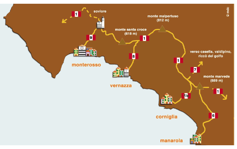
The Sentiero Alto (high path) (no. 1) (the high path) is an old mule-track, perhaps dating back to Roman times, which runs along the ridge which separates the coast from the hinterland. The complete route, the major part of which is inside the Cinque Terre, starts at Levanto, on the west and terminates at Porto Venere on the east, lasting for over 40 kilometres and touching quotas of 800 metres with a total difference in levels of about 1.300 metres. Crossed by many secondary paths which go down towards the sea, both towards La Spezia and to Val di Vara, the Sentiero Alto (high path) is very straight and clean, medium level but accessible to everyone, who is reasonably fit and dressed appropriately. The whole path takes at least ten hours, but it is recommended to split up the route into several stages, resting in the refreshment points which you find along the walk.

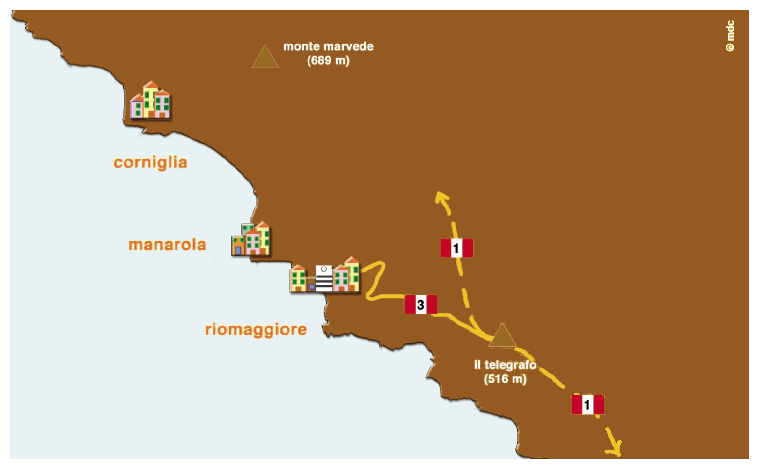
From the saddle of Monte Marvede continue passing under Monte Capri, where one encounters a presumed menhir, dating back to the Bronze Age, which probably had the role of indicating the passage of the sun at noon. From here one goes over the top of Monte Galera, under which an artificial cave opens, to then descend to the place La Croce, where one finds the paths which link the hinterland with Riomaggiore. One continues on a track which goes round Monte Verrugoli, the top of which is populated by dozens of antennae until one sees the 1800 Forte Bramapane (Fort Bramapane), from which you get an excellent view. Having overcome the worst part one continues along the last stage in descent which takes one to the door of a place called Il Telegrafo, where a refreshment point appears.

In front of the refreshment point at Telegrafo one leaves the main route and one takes path no. 3, a mule-track, which, a long time ago, constituted the only communication road between Riomaggiore and La Spezia. From here one starts to descend in the direction of the sea until, after a short walk, one meets a deserted village of Lemmen, once upon a time dedicated to sheep farming and agriculture, as evidenced by the old still existing terraces and a drinking in arenaria stone which can be found in the middle of the few houses around the restored oratorio di San Bernardo (Oratory of St. Bernard). After passing the village one continues to descend until one finds the santuario di Montenero (Sanctuary of Montenero). Abandoned building one passes by an old fountain, the coast road below, to then take a steep flight of stairs which end in the historical centre of Riomaggiore.


